Cloud Types — The 10 Genera
Clouds are classified into ten genera by their shape, altitude and structure. The same ten genera are what our identifier looks for — learn the keys below and you will start reading the sky yourself.
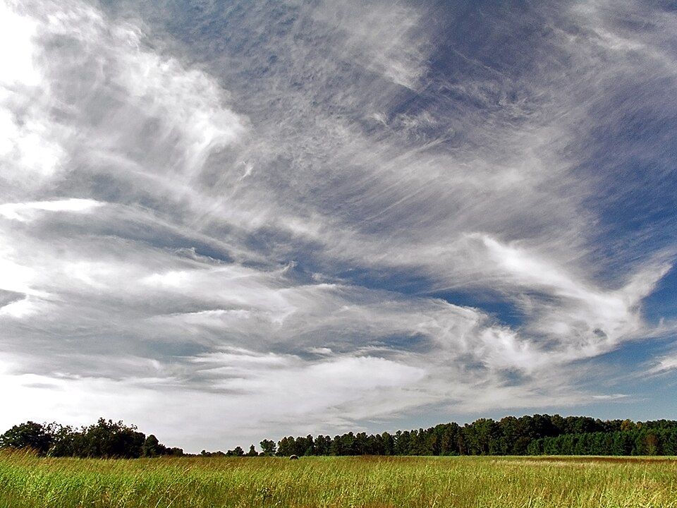
Cirrus · Ci
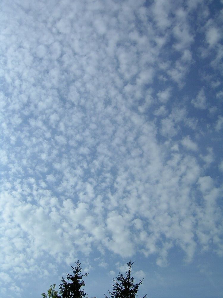
Cirrocumulus · Cc
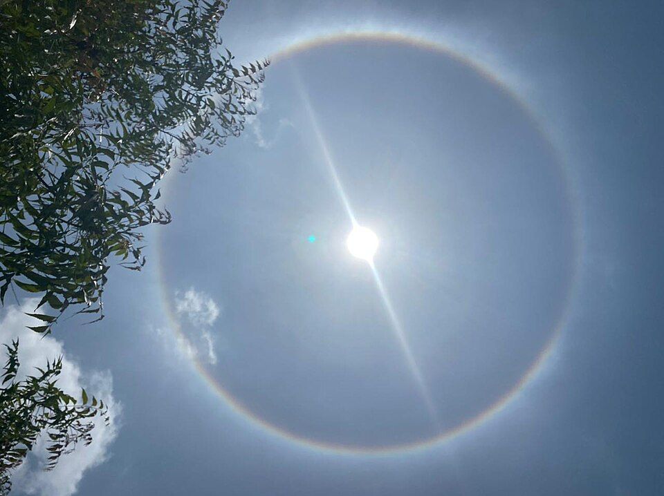
Cirrostratus · Cs
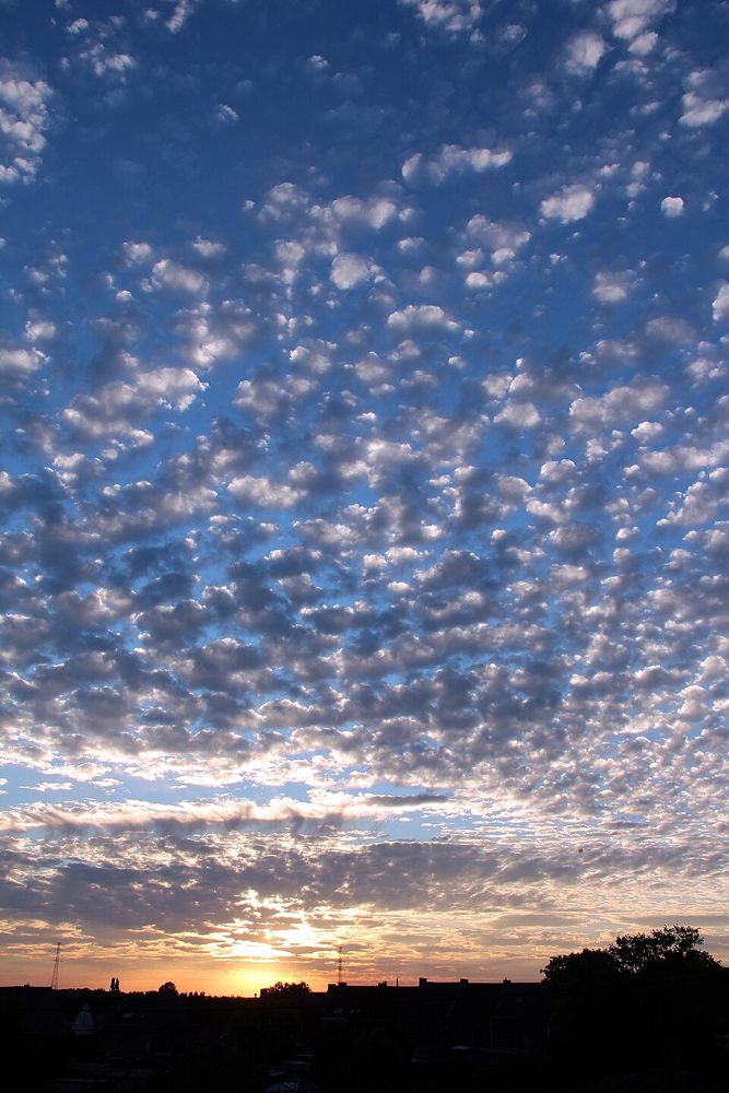
Altocumulus · Ac
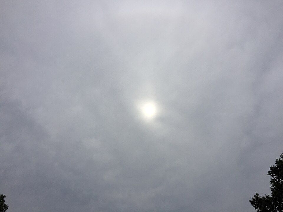
Altostratus · As
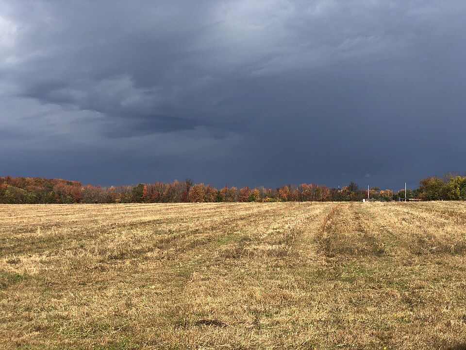
Nimbostratus · Ns
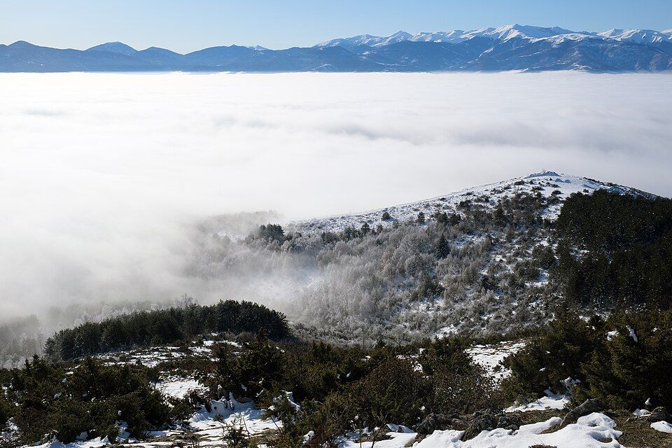
Stratus · St
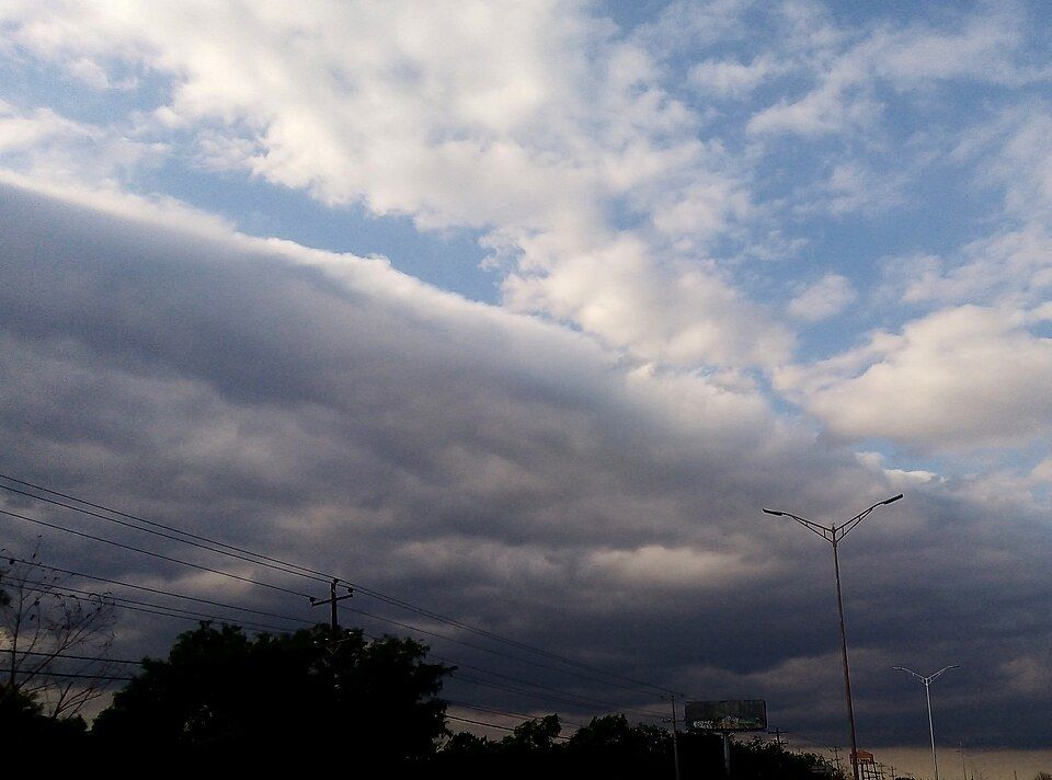
Stratocumulus · Sc
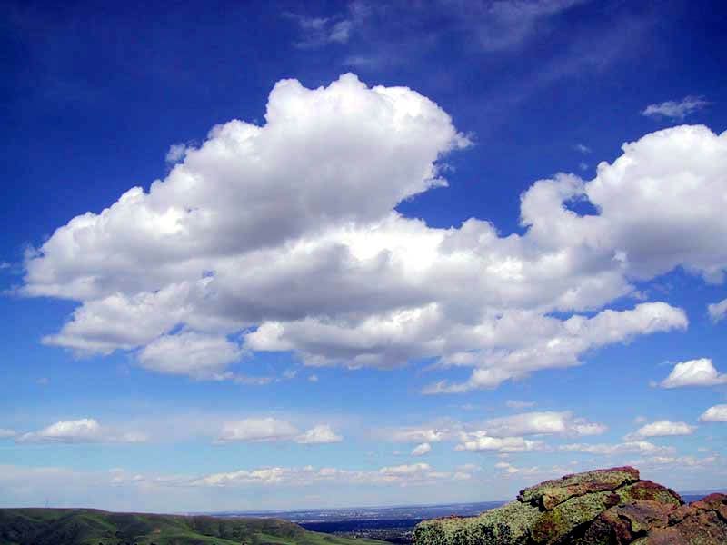
Cumulus · Cu
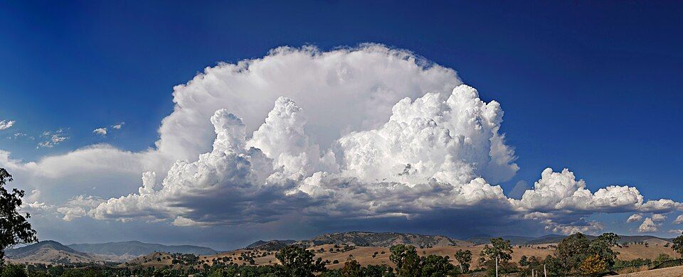
Cumulonimbus · Cb
Genus
| Genus | Level | Altitude | Typical weather |
| Cirrus | High | Base roughly 5-13 km | Cirrus produces no precipitation reaching the ground, though falling ice crystals may form virga aloft. Isolated patches indicate fair weather, while dense, steadily invading cirrus from the west often heralds the approach of a warm front. |
| Cirrocumulus | High | Base roughly 5-13 km | Cirrocumulus does not produce precipitation reaching the ground. While fair skies can follow isolated patches, a progressive thickening of these high ripples frequently indicates increasing moisture and atmospheric instability ahead of a frontal system. |
| Cirrostratus | High | Base roughly 5-13 km | Cirrostratus produces no surface precipitation. A persistent veil thickening into lower mid-level clouds reliably signals the approach of a warm front or low-pressure trough, typically bringing steady rain or snow within twelve to twenty-four hours. |
| Altocumulus | Mid | Base roughly 2-7 km | Altocumulus normally yields no precipitation reaching the ground, though virga trails often dangle beneath elements. However, turreted forms like castellanus indicate mid-level instability and frequently foreshadow afternoon showers or thunderstorms later in the day. |
| Altostratus | Mid | Base roughly 2-7 km | Altostratus typically indicates approaching deterioration in weather, often preceding frontal precipitation. It normally produces no precipitation reaching the ground, although virga can hang beneath the cloud base. Thicker varieties gradually lower and darken, often transitioning directly into rain-bearing nimbostratus. |
| Nimbostratus | Mid | Base often below 3 km | Nimbostratus produces steady continuous precipitation in the form of rain or snow that persists for hours over vast regions. It brings low visibility, high humidity, and overcast skies, without the violent wind gusts, thunder, or hail typical of cumulonimbus. |
| Stratus | Low | Base below roughly 2 km | Stratus typically brings dull, overcast conditions with limited surface visibility. Unlike nimbostratus, it normally produces no precipitation reaching the ground, though light mist or trace dampness can occasionally occur beneath extremely low or ragged cloud fragments. |
| Stratocumulus | Low | Base below roughly 2 km | Stratocumulus typically brings dry conditions or occasional light drizzle, but no continuous or heavy rain reaches the ground. It often signals stable lower-tropospheric air, persisting during calm weather or marking the transition between clearing skies and low overcast. |
| Cumulus | Vertical | Base roughly 0.4-2 km | Small cumulus clouds indicate fair, dry weather with pleasant conditions and no precipitation. If daytime heating produces deep instability, they may swell into towering congestus clouds that yield brief, localized showers before dissipating in the late afternoon or evening. |
| Cumulonimbus | Vertical | Base roughly 0.5-2 km, tops up to 12 km+ | Cumulonimbus brings severe, turbulent weather including heavy showers, thunderstorms, hail, and strong gusty winds. It is the only cloud that produces thunder and hail, with intense precipitation occurring in localized bursts rather than steady, uniform rain. |